|
|
|
|

|
GIS LSRM
Download:
GIS LSRM software package is intended for radiation monitoring of territories with gamma spectrometers and dosimetry sensors, for determination of the radionuclide composition of the objects and for results binding to the maps. The contamination maps can be created using the software: the functions of collecting, analyzing and storing of the gridded pollution information are supported. The user can emulate the pollution from certain activities using the spectra database and create the source on the basis of a spectrum supported by SpectraLine. Main Functions Geographical Information System The Integrated Geographic Information System (GIS) is developed on the basis of DataGIS components and provides the following functions:
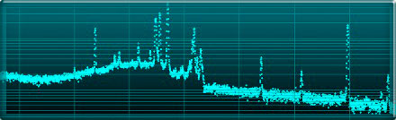
Readings are taken from a dosimetry sensor and a detector once or in the real-time mode with the interval specified in the settings. In both cases the measured values are displayed on the map and on the graph and stored in the database along with the coordinates. The dose ranges are colored depending on the categorization requirements. Sources Searching The location of the radiation source is determined on the basis of the measured dose distribution. Then the source can be identified. Spectra Processing Spectra are processed by SpectraLineHandy. The activity is calculated using the determined distance between the spectrum acquisition point and the radiation source. Single spectrum and the spectra sum can be processed. 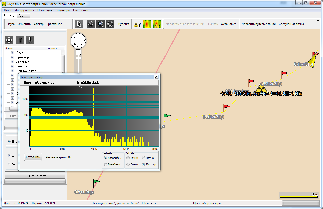 Emulation The spectra saved in SpectraLine database are used as radiation and background sources. The software provides:
GIS Extremum software has been developed for mobile automated system for radiation and chemical monitoring in emergency zones «AMS-RHR». It provides the following functions:
The information about radiation environment is acquired, processed and displayed in GIS using Territories Certification software. It supports the following functions:
State Registration: GIS Extremum, Territories Certification software packages were registered in the State Register for computer programs on 06.05.2014.
|